BIM & Digital Engineering
We structure, model and coordinate your projects using modern BIM workflows — with BIM experience on several projects and BIM engineers staffed per project.
openBIM / IFC
BIM projects to buildingSMART openBIM/IFC standards
EN ISO 19650
Information management across design, construction and handover
ISME TK019
Member of Technical Committee 019 for BIM at the Institute for Standardization of Montenegro
LOD 100
Conceptual
LOD 200
Approximate
LOD 300
Precise
LOD 350
Construction
LOD 400
Fabrication
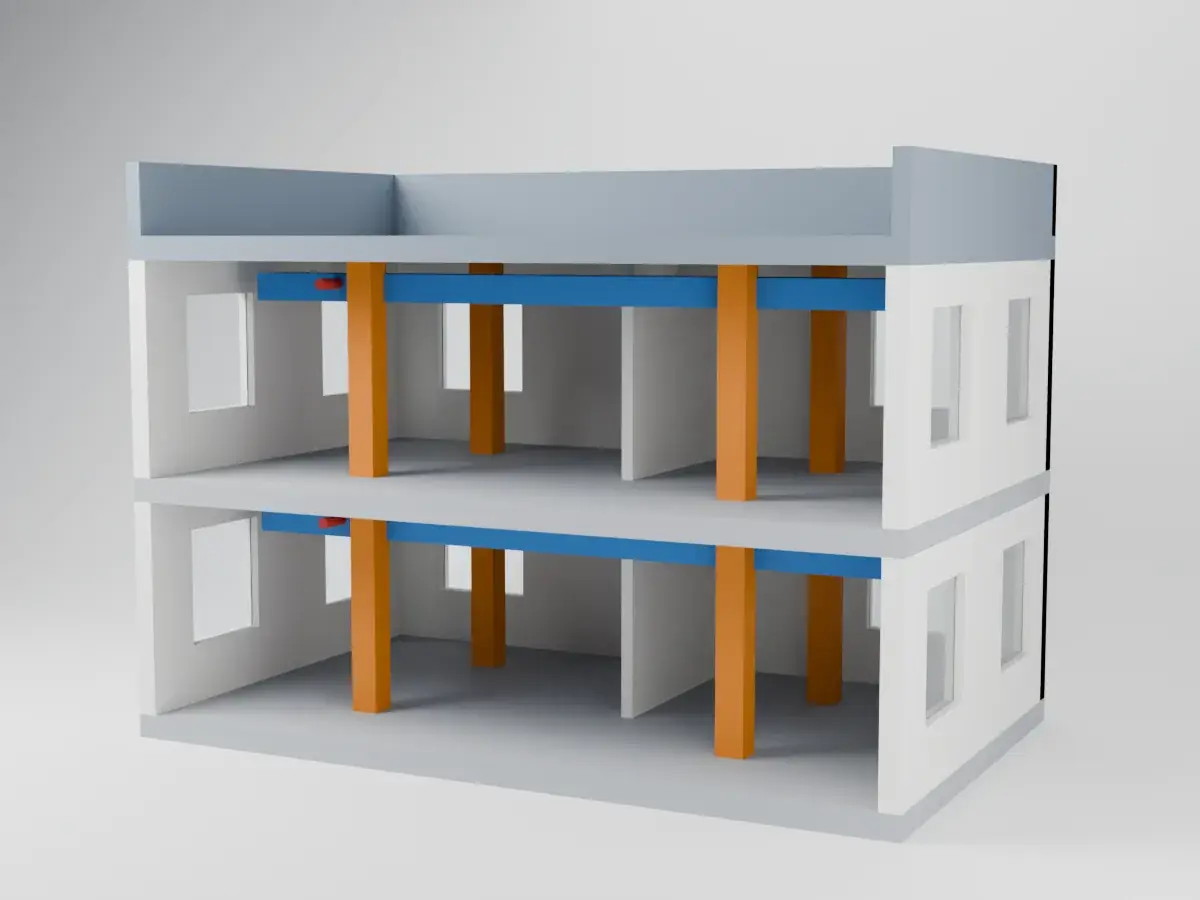
BIM Strategy & Implementation
BIM setup for companies and projects. We define governance, standards, workflows, EIR & BEP. Process optimization and digital transformation consulting.
Capabilities
- BIM governance & standards
- EIR & BEP development
- Process optimization
- Digital transformation roadmap
BIM Coordination & Project Support
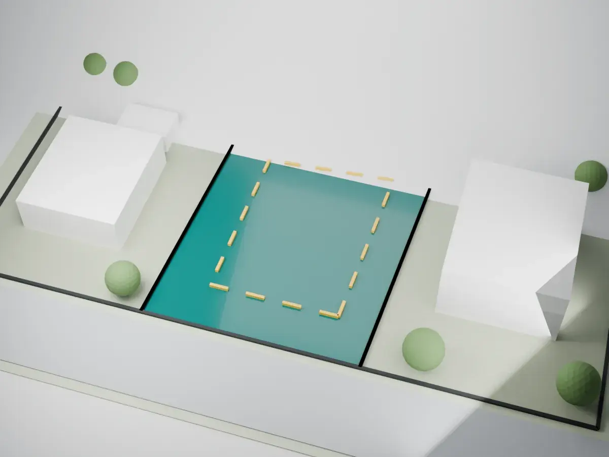
Model coordination, clash detection, ICE sessions. Stakeholder coordination, CDE setup and management, quality control of BIM models.
Capabilities
- Clash detection & resolution
- ICE session facilitation
- CDE setup & management
- BIM model quality control
BIM Modeling & Content Creation
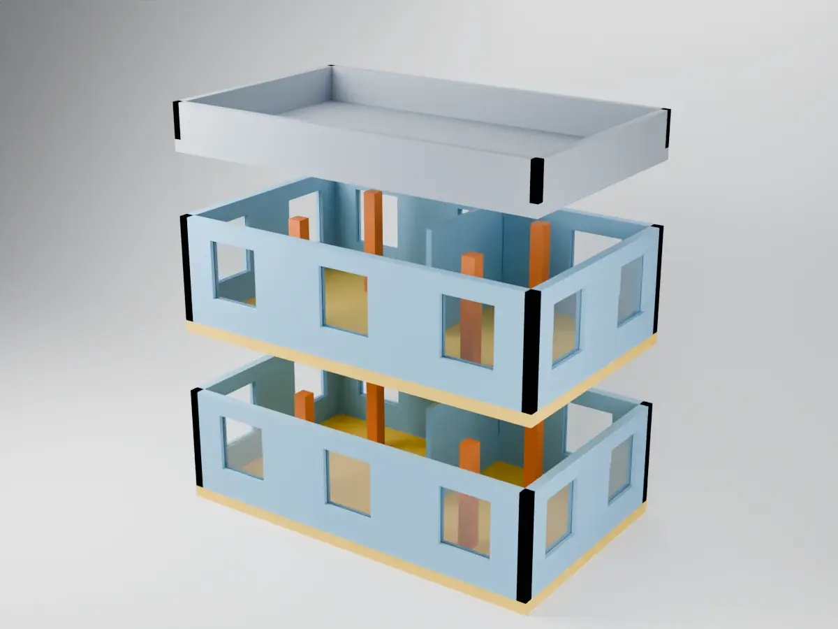
Architectural, MEP, and structural modeling. Parametric BIM content, LOD-specific models, libraries and families.
Capabilities
- Architectural / MEP / Structural
- Parametric BIM content
- LOD-specific models
- Custom libraries & families
Scan-to-BIM & Reality Capture
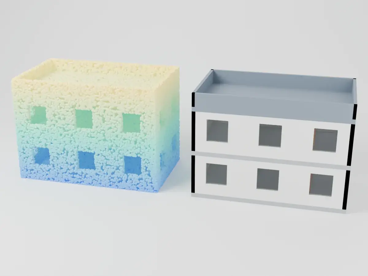
Laser scanning with point cloud processing. As-built verification, Field2BIM workflows, and renovation support for existing buildings.
Capabilities
- Laser scanning (point clouds)
- As-built verification
- Field2BIM workflows
- Renovation & existing buildings
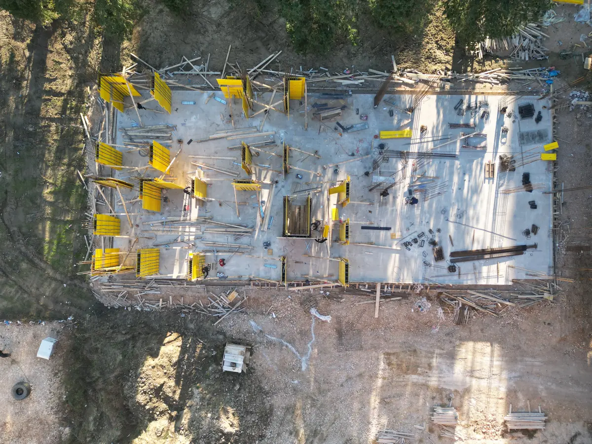
GeoBIM & Data Integration
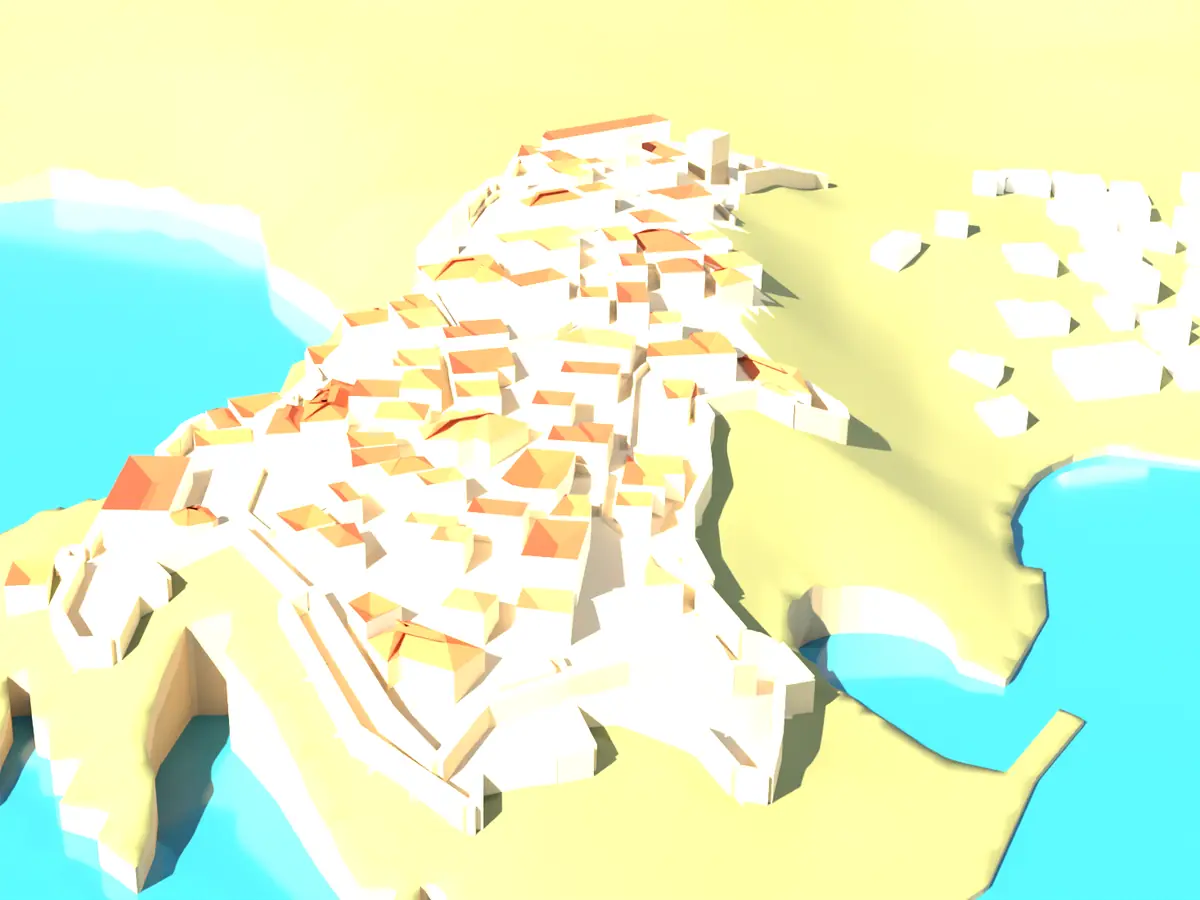
Unique DifferentiatorOur unique differentiator. We connect 2D geodata with 3D BIM models — utility networks, cadastre, GeoDesign, spatial analysis, and lifecycle data management.
Capabilities
- 2D geodata → 3D BIM conversion
- Utility networks & cadastre
- GeoDesign & spatial analysis
- Data management & lifecycle
Digital Construction & Automation
Data pipelines, BIM automation scripts, process digitization, and smart data handling for construction workflows.
Capabilities
- Data pipeline design
- BIM automation scripts
- Process digitization
- Smart data handling
Frequently Asked Questions
What is BIM and why do I need it?
BIM (Building Information Modeling) is a digital representation of a building's physical and functional characteristics. It reduces construction errors, improves coordination, and saves costs by detecting issues before construction begins.
What BIM software do you use?
We work with Autodesk Revit, Navisworks, AutoCAD, ArchiCAD, Solibri, BIM 360, ReCap, and Civil 3D. We adapt to your existing workflows and software requirements.
What is Scan-to-BIM?
Scan-to-BIM converts laser scan point clouds of existing buildings into detailed BIM models. It's essential for renovations, as-built documentation, and heritage preservation.
What is GeoBIM?
GeoBIM integrates geographic information (GIS/geodata) with BIM models — connecting 2D cadastre, utility networks, and spatial data with 3D building models for infrastructure planning.
What LOD levels do you deliver?
We deliver models from LOD 100 (conceptual) through LOD 400 (fabrication-ready), depending on project requirements. LOD 300 is most common for construction documentation.
What standards and memberships do you work with?
We deliver BIM projects to buildingSMART openBIM/IFC standards. We work to EN ISO 19650 information management, are members of ISME TK019 for BIM standardization, and our team includes an Autodesk Certified Professional.
Pricing
Indicative prices
- BIM audit of your companyup to 5 staff, one project
- €750
- BIM Execution Plan (BEP)one project, up to 3 disciplines
- €600
- Bill of quantities and cost estimateminimum €250
- from €0.80 / m²
Prices exclude VAT; VAT is added at the rate of the delivery country (21% in Montenegro). Your quote states the exact amount and timeline.
Request a quoteLet's Talk About Your Project
Tell us what you need — we will find the right solution for you.