Drone & Aerial Services
Aerial photography and photogrammetry for sites and buildings. We scope the job, bring in a licensed pilot or drone company for the flight, and process the flight into the deliverable you need.
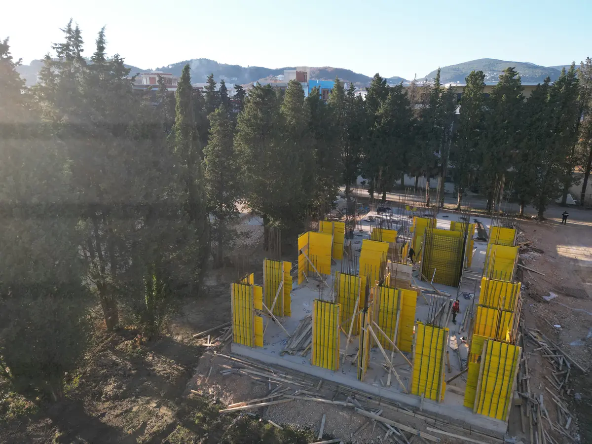
What you get
Aerial photography
Photos and video of sites, buildings and coastline for planning, sales and documentation.
Orthophoto & site model
Photogrammetry processed into an orthophoto and a 3D model of the site.
Roof and facade inspection
Close-up imagery of roofs and facades without scaffolding.
Input for Scan-to-BIM
Roofs and building context captured from the air, combined with ground scanning.
How it works
1
Scope
Area, purpose, deliverable and required resolution, agreed in writing.
2
Equipment & pilot
We bring in a licensed pilot or a licensed drone company for the flight, with the permissions it needs. We scope the job and process the data.
3
Flight
Capture on site on the agreed date, weather permitting.
4
Processing
Photos processed into the orthophoto, model or report you ordered.
Let's Talk About Your Project
Tell us what you need — we will find the right solution for you.